Earthscapes Labs · Web app · Live

TreeSpot

Map your city's trees. Protect the old ones.

TreeSpot is a crowdsourced tree-mapping platform. Volunteers find a tree, record where it is and how big it is, add photos and notes, and submit it. Arborists and administrators review each entry before it appears on the public canopy map.
View source code

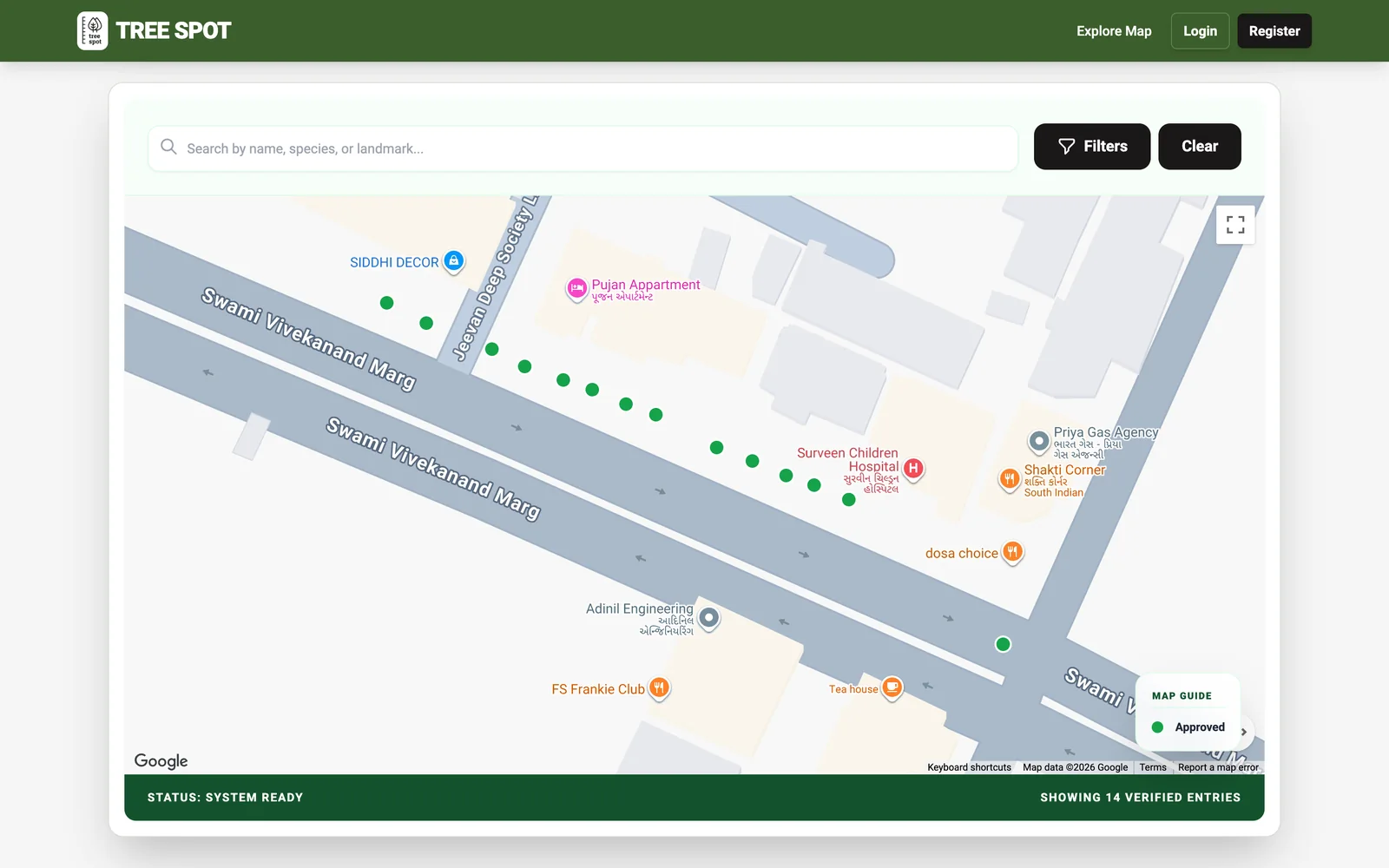
TreeSpot map of Swami Vivekanand Marg in Ahmedabad with green markers for approved trees, a search bar and filters
LivePublic map at treespot.in
OfflineRecord trees even without signal
8Volunteer achievement badges
OpenOpen source (AGPL-3.0)

What TreeSpot does

Crowdsourced urban canopy mapping and heritage tree preservation for citizen scientists and cities.

Explore the canopy map

Every verified tree on one fast map.

  • Names, size, health and photos for each tree
  • Search by name, species or landmark
  • Export data as CSV

Record trees in the field

A phone form made for standing under a tree.

  • One-tap GPS, size, girth and health
  • Standard species names from GBIF
  • Works offline and syncs later

Verified by experts

Nothing goes public until it is checked.

  • Approve, reject or send back with feedback
  • Mark heritage trees and feature standouts

Keep volunteers motivated

Contributors earn recognition for what they map.

  • Eight achievement badges
  • Public leaderboard and personal dashboard

How it works

Three steps from start to finish.

1

Record

A volunteer finds a tree and logs its location, size and photos on a phone, even offline.

2

Verify

An arborist or administrator reviews the entry before it goes public.

3

Explore

Verified trees appear on the public canopy map for anyone to search and export.
See it in action

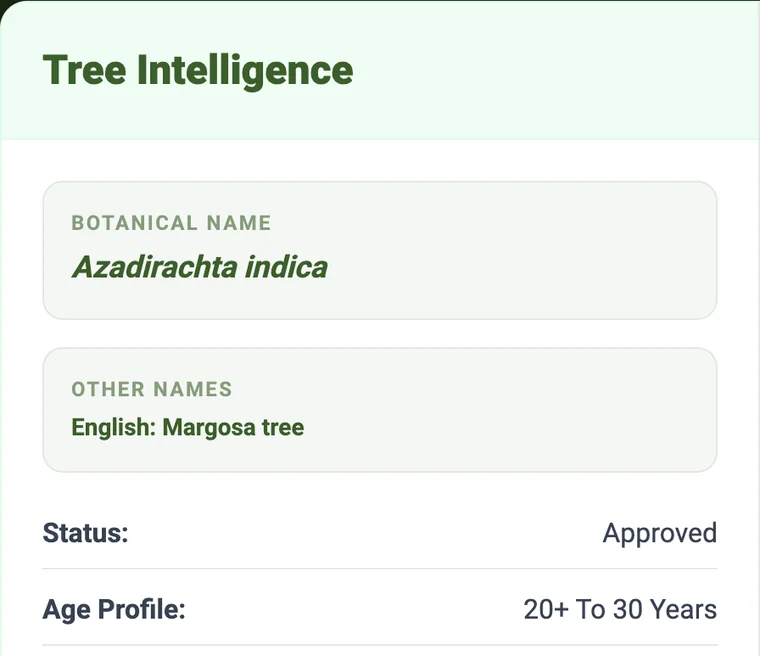
TreeSpot tree details card showing the botanical name Azadirachta indica, English name Margosa tree, status Approved and age profile 20+ to 30 years
Click any tree to see its names, status and age.
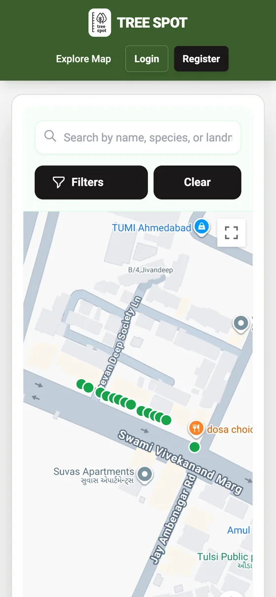
TreeSpot on a phone showing the search bar, filters and map of approved trees
TreeSpot works in any phone browser.

Who it's for

  • Citizen-science groups and tree-lover communities
  • Municipal and urban forestry teams
  • Conservation NGOs and researchers
  • Landscape architects documenting existing trees on a site

Built with privacy in mind

  • Photos are re-encoded on the device before upload, removing camera serial numbers and embedded GPS data
  • Volunteers appear under pseudonymous botanical handles on public pages
  • Role-based access, so volunteers can only edit their own submissions

Start mapping trees

Visit TreeSpot to explore the map or register as a volunteer. Want it for your city or organisation? Talk to us.

More from Earthscapes Digital